
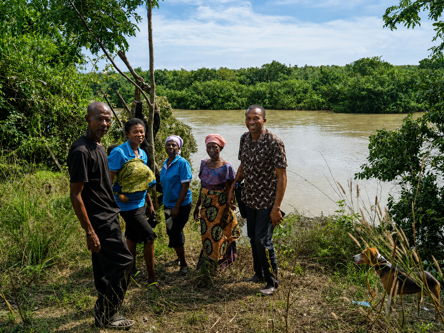
Communities across the Black Volta Basin demonstrated a strong willingness to explore practical technologies that could improve agricultural productivity and strengthen rural livelihoods. Working closely with farmers and community leaders, we identified potential farmlands located near dependable water sources that could support small-scale and climate-smart irrigation systems.
The mapping process brought together local knowledge, field observations and emerging digital tools to better understand land suitability, water access and opportunities for dry-season production. It also helped identify areas where technologies such as solar-powered irrigation, efficient water delivery systems, geospatial mapping and digital farm monitoring could be introduced in ways that responded to local conditions.
What was particularly encouraging was the readiness of the Bamboi community to participate, contribute their knowledge and consider new approaches to farming. This created a strong foundation for future investment in technologies that could support year-round production, reduce climate-related risks, improve household incomes and create new economic opportunities.